


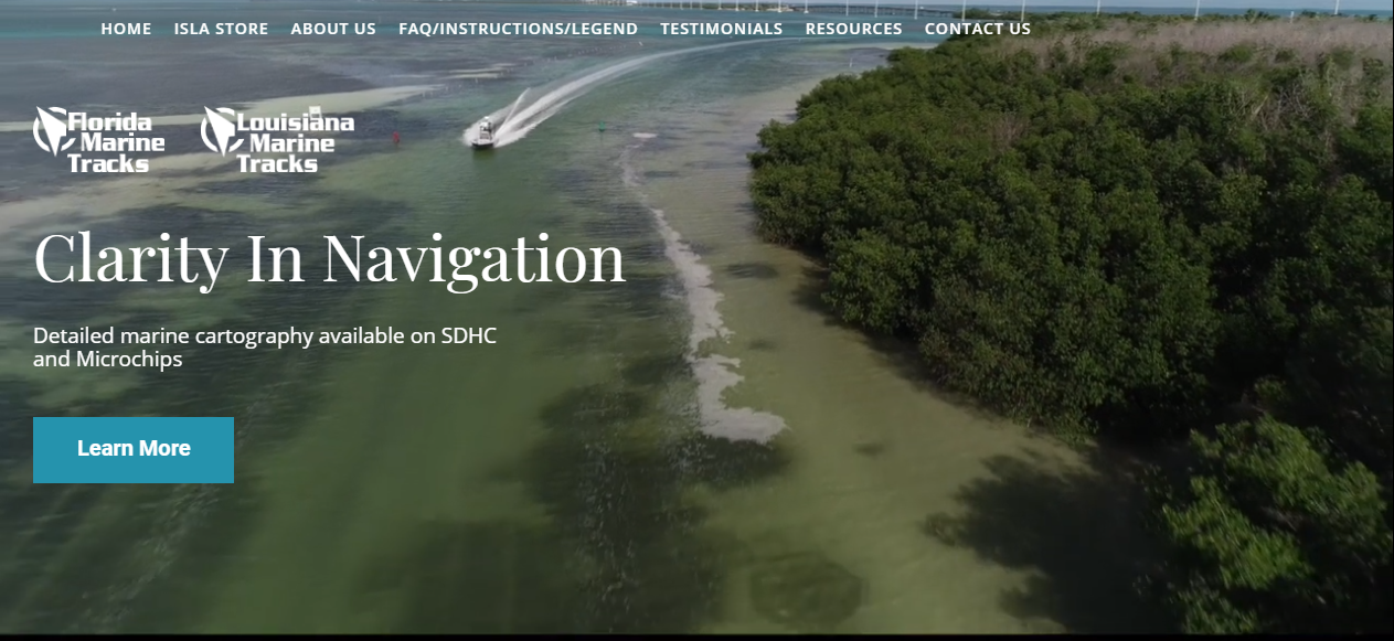


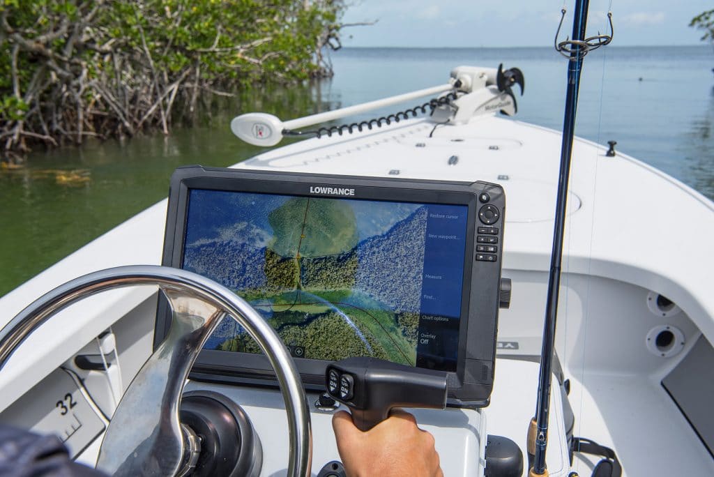
ISLA charts are the most accurate and complete inshore marine navigation and fish scouting tool ever created for GPS chart plotters. ISLA provides very high res imagery and detailed tracks that cover very shallow and remote inshore areas as well as primary deeper runs. Compatible with most Navico Chart Plotters including Simrad and Lowrance.
Rate us and Write a Review
- Closed Now09:00 AM - 05:00 PM
Show all timings
- Monday09:00 AM - 05:00 PM
- Tuesday09:00 AM - 05:00 PM
- Wednesday09:00 AM - 05:00 PM
- Thursday09:00 AM - 05:00 PM
- Friday09:00 AM - 05:00 PM
 Own or work here?
